
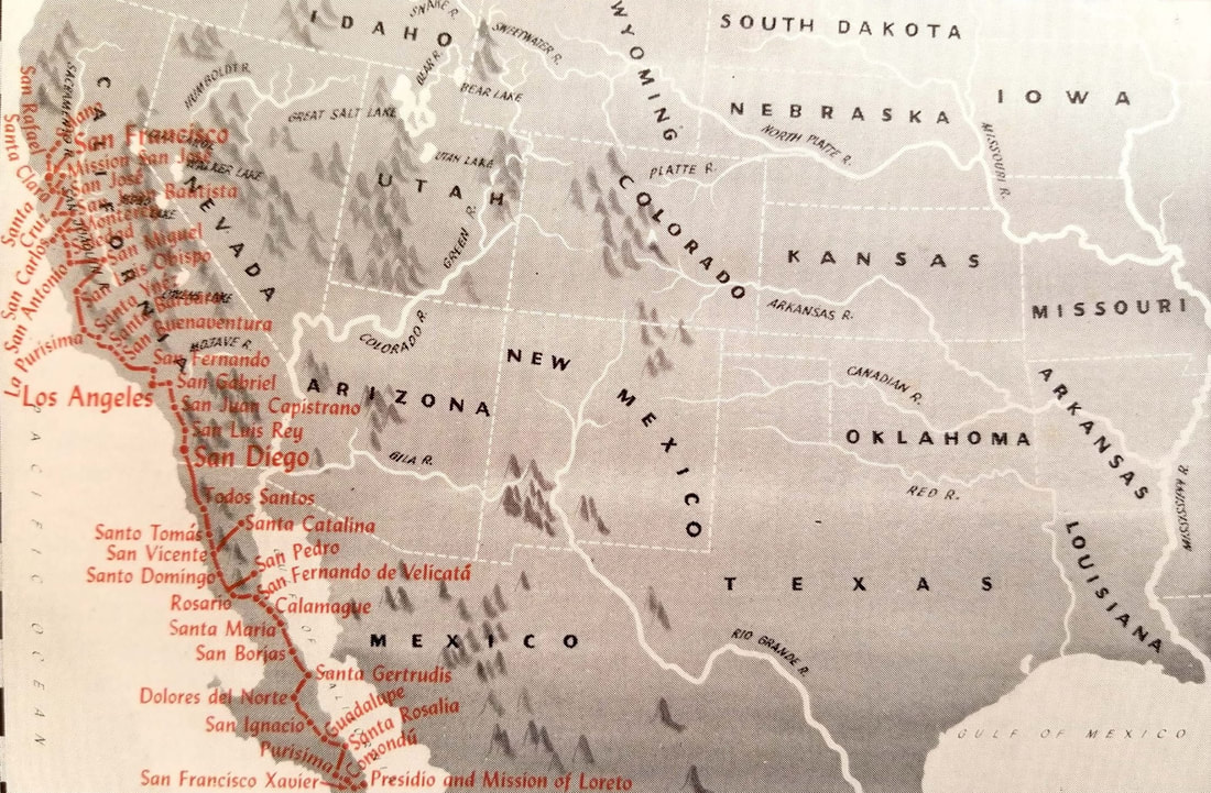
 Map showing the California mission trail, the Royal Highway, El Camino Real. AAA also started publishing Westways in that era - 1909 to be precise. One of their writers was J. Gregg Layne, who also wrote for The Los Angeles Corral. The Corral was published by The Los Angeles Corral of Westerners who were founded in 1946. For more about their history and current status, visit LA Westerners. In the Corral's September 1954 issue, two writers mention the book Western Wayfaring: Routes of Exploration and Trade in The American Southwest by J. Gregg Layne and published by The Automobile Club of Southern California in 1954. Don Meadows wrote that he got so interested in studying the maps in Western Wayfaring that he almost missed his deadline for his "Corral Chips" feature. As you can see by the image above, the maps were nicely done and there was one to accompany each chapter. Merrell Kitchen mentions the book was published posthumously and is a collection of the articles Layne wrote about western trails that appeared in Westways. Merrell adds that the book is considered a memorial to Layne's memory, "...for none loved better the study of early treks westward." Meadows adds how much "Gregg is sure missed around the old corral." And now, here is the short chapter from Western Wayfaring about El Camino Real by J. Gregg Layne: "El Camino Real, or the Royal Highway, started in Baja California, on the gulf coast at Loreto, the first presidio and mission founded in Lower California. It led north through both Baja and Alta California to Solano Mission in Sonoma. Both Russia and England had their eyes on California - a situation well known to Spain. So, to save California for the Crown, El Camino Real was established to further civilian settlements as a stern military necessity. In 1767 when Carlos III issued his decree expelling the Jesuits from the Spanish domain, Don Gaspar de Portola was appointed Governor of the Californias and was sent from Tepic with 50 soldiers and 14 Franciscan friars to occupy the Jesuit missions and to establish settlements in Alta California. With this latter in view an expedition of soldiers and priests, under command of Portola left Loreto in 1769 and started north on what was to become El Camino Real. Among the six friars that were selected to accompany the party were Junipero Serra, who had been elected president of the missions, and Fray Juan Crespi, who became the greatest diarist of California history. Portola's objective was to find the ports of Monterey and San Diego, so highly praised by Vizcaino 167 years earlier; while Serra's was to establish missions and convert the heathen Indians. Capt. Rivera y Moncada was made second in command with 40 cavalrymen and 25 Catalonian infantry under Lt. Pedro Fages, accompanied by Ensign Miguel Costanso, as diarist, and Sgt. Jose Francisco Ortega. The route taken was north and westerly through the various missions that had already been founded by the Jesuits, on to the site of the Mission of San Fernando de Velicata, the first and only mission to be founded by the Franciscans in Baja California. From Velicata, the route veered over to the shore of the Pacific at Rosario and then skirting Todos Santos Bay up the coast to San Diego, where Serra founded his first mission in Alta California, and Portola his first presidio. Making its way north, the new trail led through the back country to the sites of San Luis Rey and San Juan Capistrano, thence across the hills to San Gabriel and west to the site of the present city of Los Angeles. Farther west the party passed the now famous tar pits on present Wilshire Boulevard and then pressed on through present Sepulveda Canyon, west and north through present Ventura and Santa Barbara, through Gaviota Pass to the sites of Santa Ynez and Purisima. North then to San Luis Obispo, but instead of taking the present Cuesta Grade the party pressed on up the pass that leads to Morro Bay where, stopped by the Santa Lucia Range, they wound through the mountains to the Salinas Valley and worked on north missing Monterey, but on October 31, 1769 they discovered San Francisco Bay. Portola returned south to report his discoveries, but Serra and his missionaries stayed in Alta California to found the 21 California missions and El Camino Real became the road that connected those establishments by the easiest and shortest route." 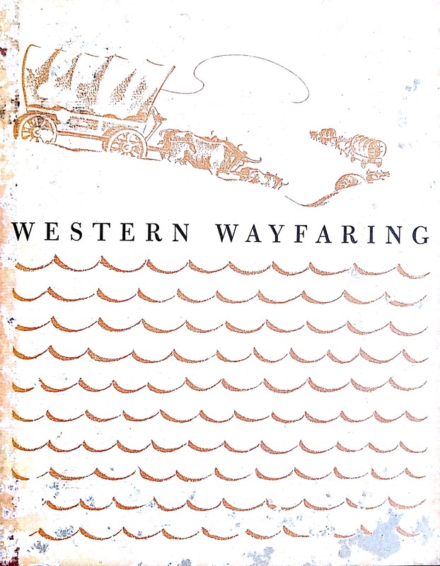 Boards from the book "Western Wayfaring" showing a covered wagon train.
0 Comments
Your comment will be posted after it is approved.
Leave a Reply. |
AuthorDawn Torres-Reyes: writer of published articles, blog entries, and poetry. Past author of the national blog "Pieces of the Past". To submit a question or subject for the blog, email [email protected] Categories
All
|

 RSS Feed